QGIS in Maritime Archaeology 2026
Get to grips with QGIS and start mapping the past—no prior GIS experience required. Learn how to visualise, analyse, and share archaeological data.
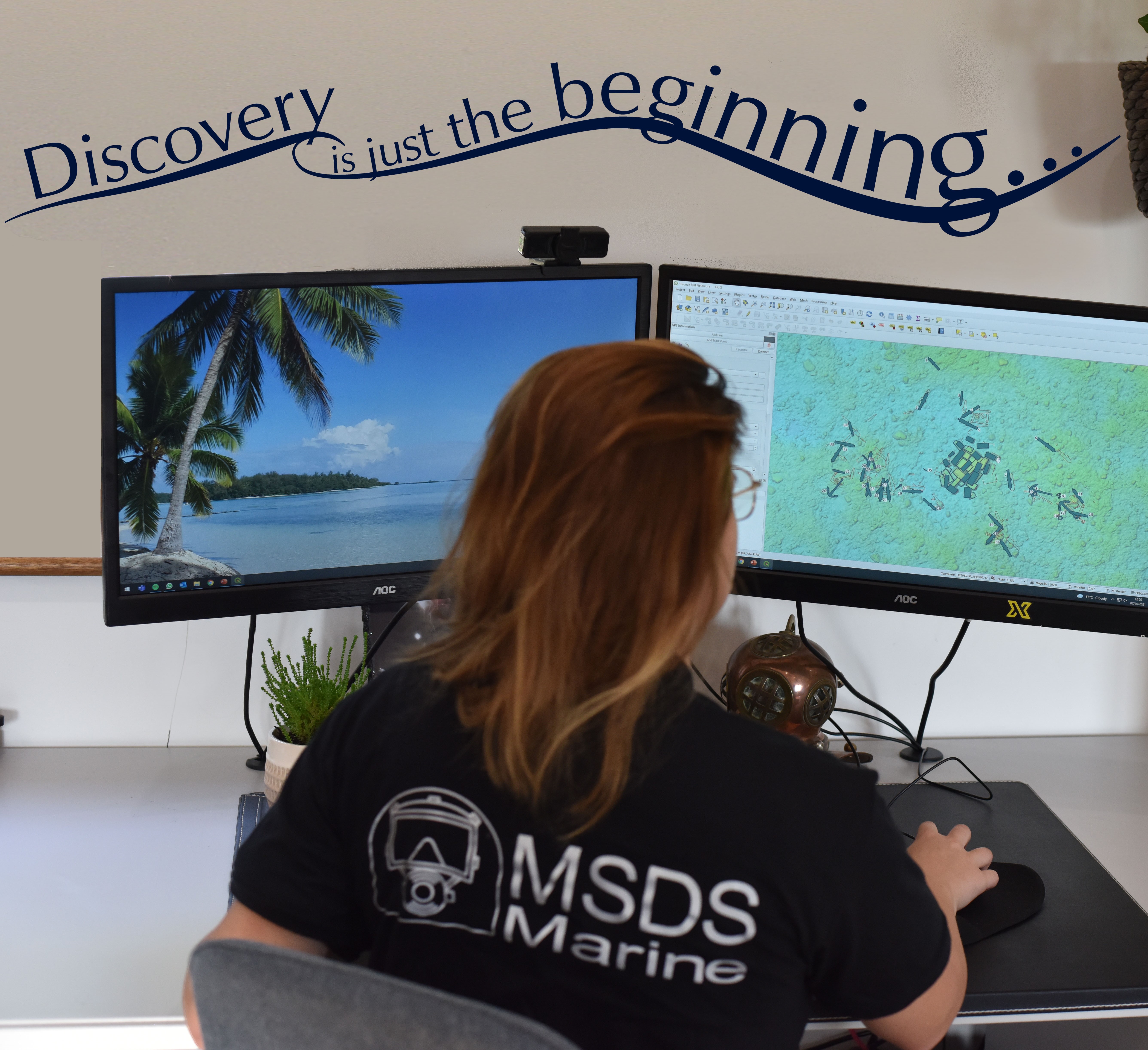
This online introductory course is designed for those new to GIS, with a focus on using QGIS, a free, open-source software widely used in archaeology. Through seven short video tutorials (total 1.5 hours), hands-on exercises, and assignments, you'll gain practical skills in setting up projects, sourcing and creating data, using tools, and sharing results—particularly for maritime contexts. Modules are: Introduction to GIS, Setting up a Project, Data Sources, Creating Data, Modifying Data, Interrogating Data, Other Tools, and Displaying and Sharing Data.
The course is self-paced but includes a mandatory one-hour live Q&A session (multiple dates and times in March 2026) with an expert tutor to complete the course and earn
Self-paced with live online help sessions 19 March 8pm GMT, 22 March 11am GMT, 23 March 1pm GMT
£40 course fee | 5 NAS credits.
COURSE CONTENT
- Introduction to GIS
- Setting up a project
- Data sources
- Creating data
- Modifying data
- Interrogating data
- Other tools
- Displaying and sharing data
Ideal for people with no experience of GIS or QGIS including archaeologists, students, divers and heritage professionals.
Run with in partnership with MSDS Marine and MSDS Heritage